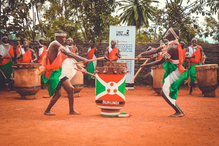
Located in the heart of the African Great Lakes region, Burundi is a small landlocked country whose landscapes are shaped by high plateaus, mountains, lakes, and fertile valleys. Despite its modest size, the country offers remarkable geographical diversity that strongly influences its climate, biodiversity, and way of life.
LOCATION AND REGIONAL CONTEXT
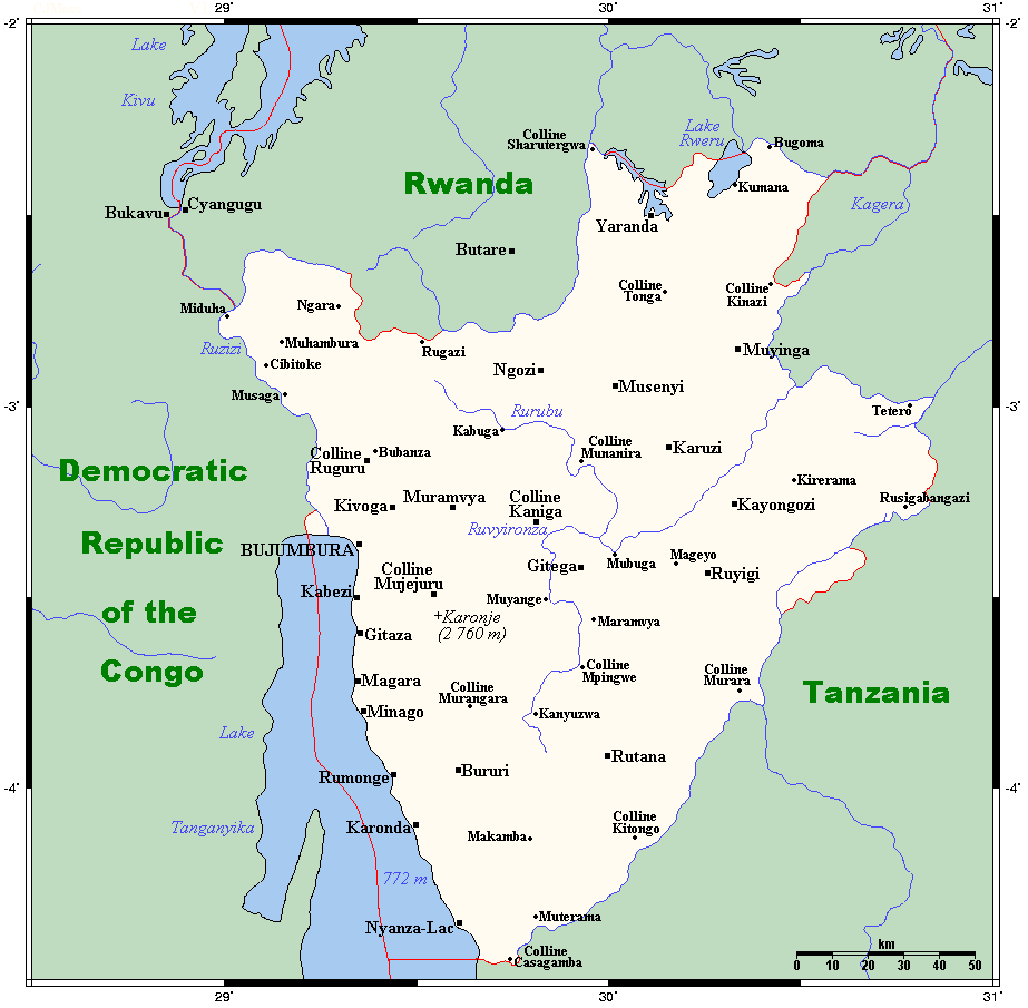
Burundi is situated in East-Central Africa, just south of the equator. It is bordered by Rwanda to the north, Tanzania to the east and south, and the Democratic Republic of the Congo to the west. The country lies within the African Great Lakes region, a zone known for its lakes, volcanic activity, and elevated terrain.
RELIEF AND LANDSCAPES
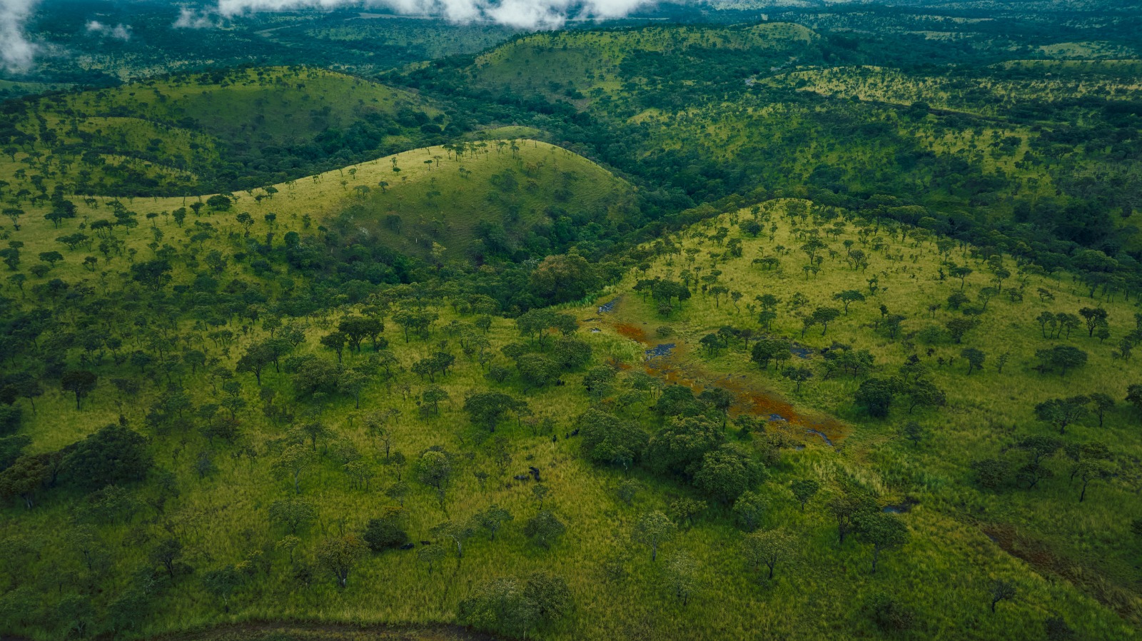
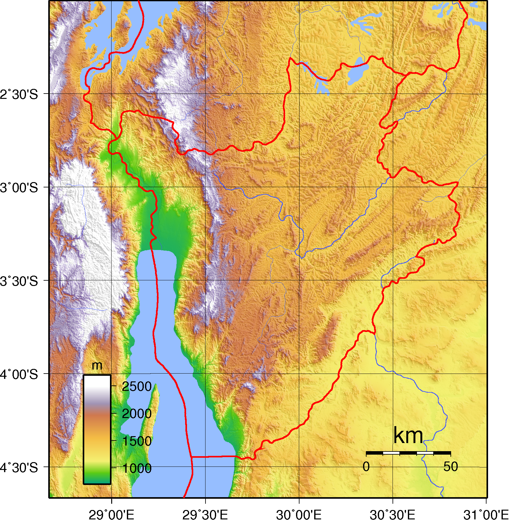
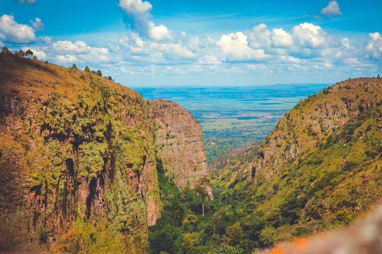
Burundi’s landscape is predominantly hilly and mountainous, forming part of the Albertine Rift. A central mountain chain runs from north to south, known as the Congo–Nile Divide, separating the waters flowing toward the Nile Basin from those draining into the Congo Basin.
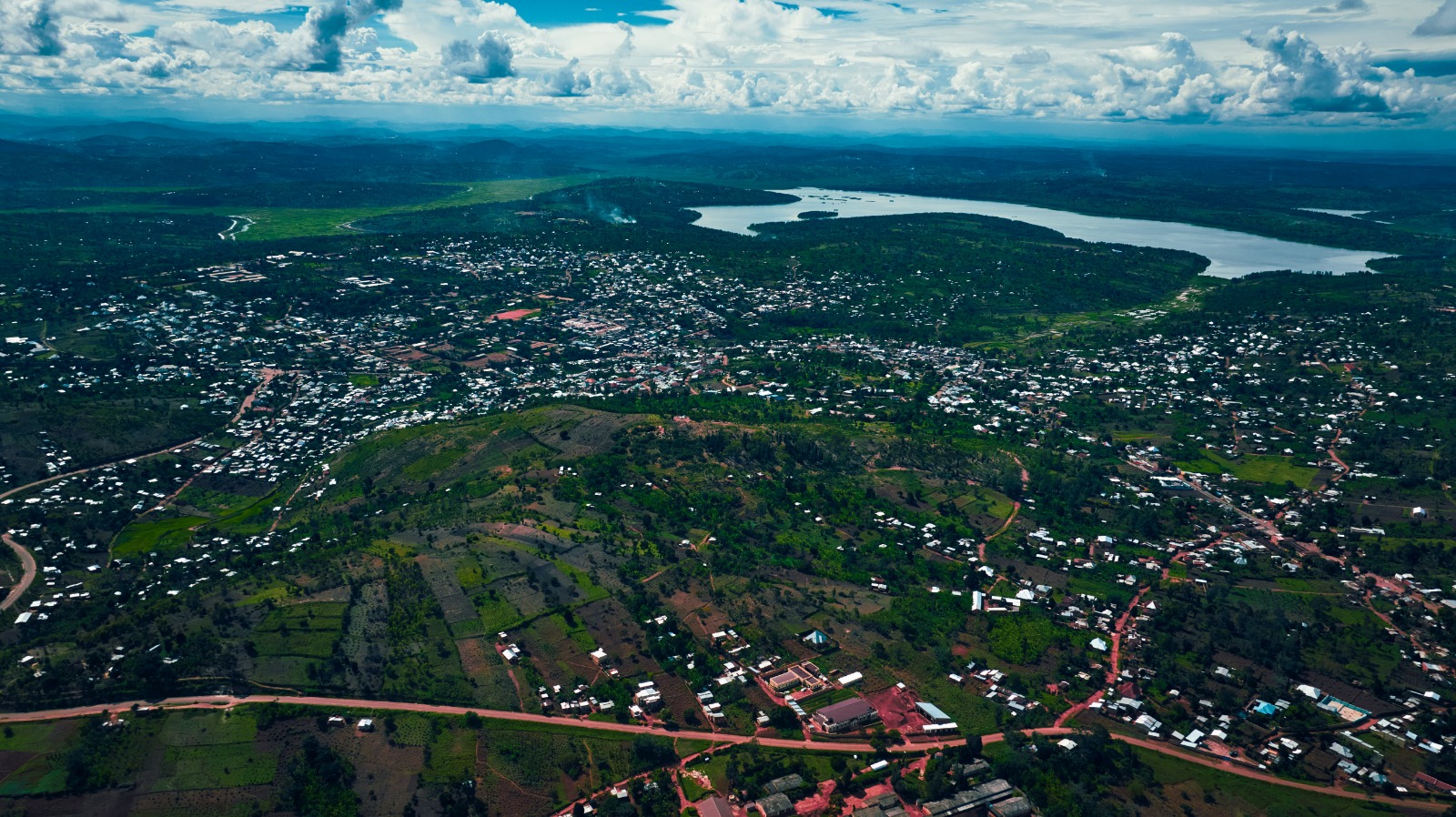
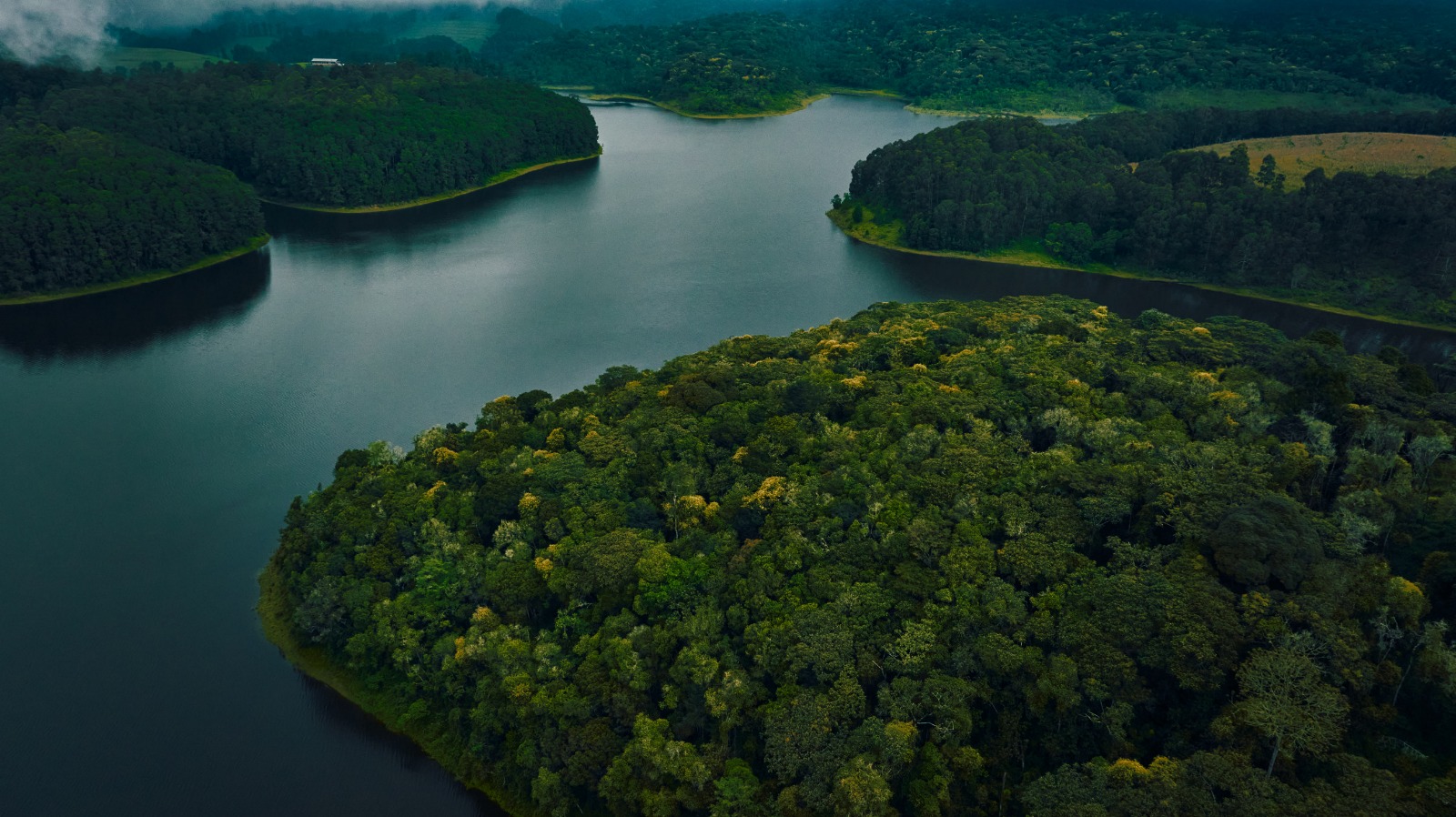
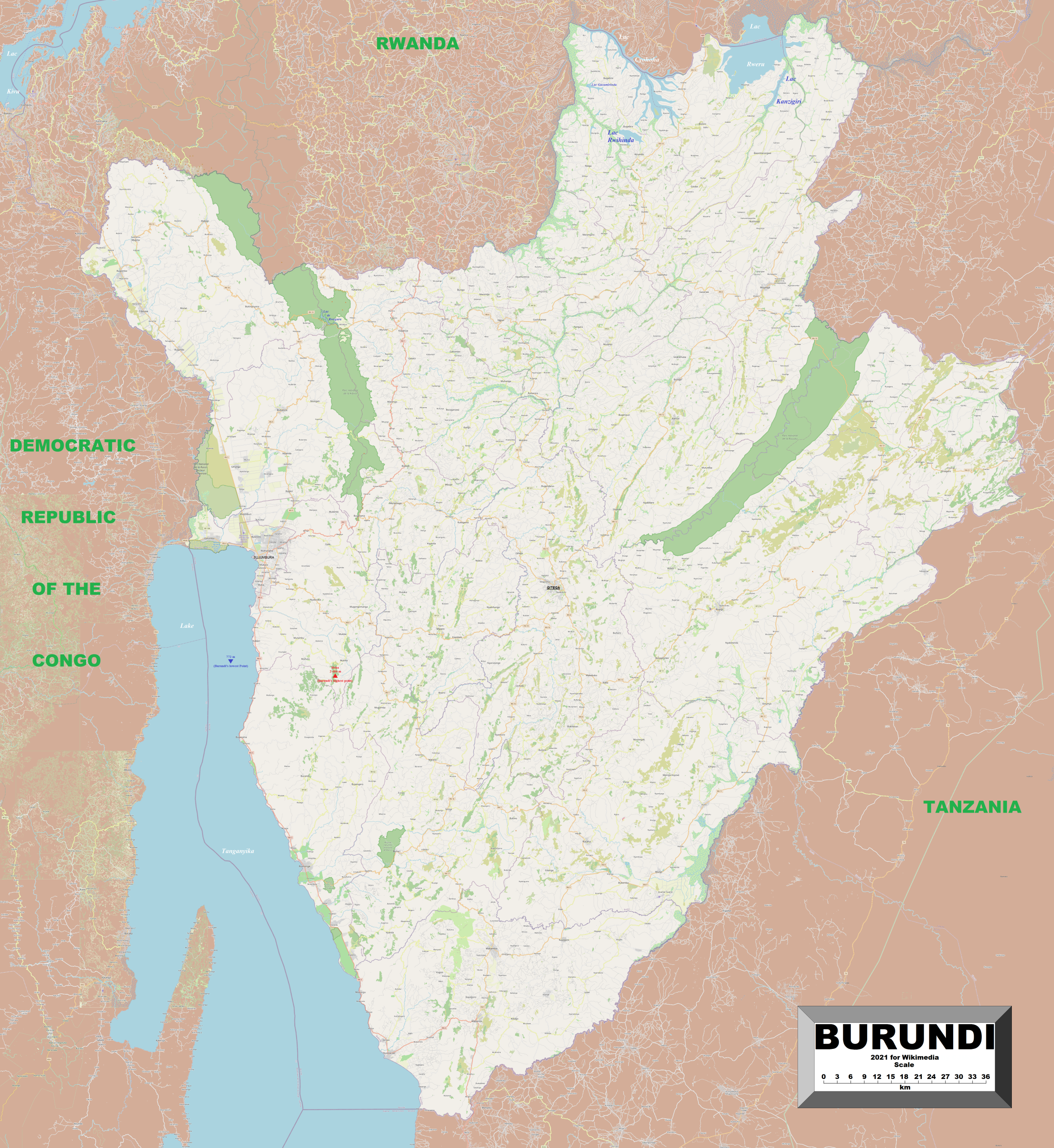
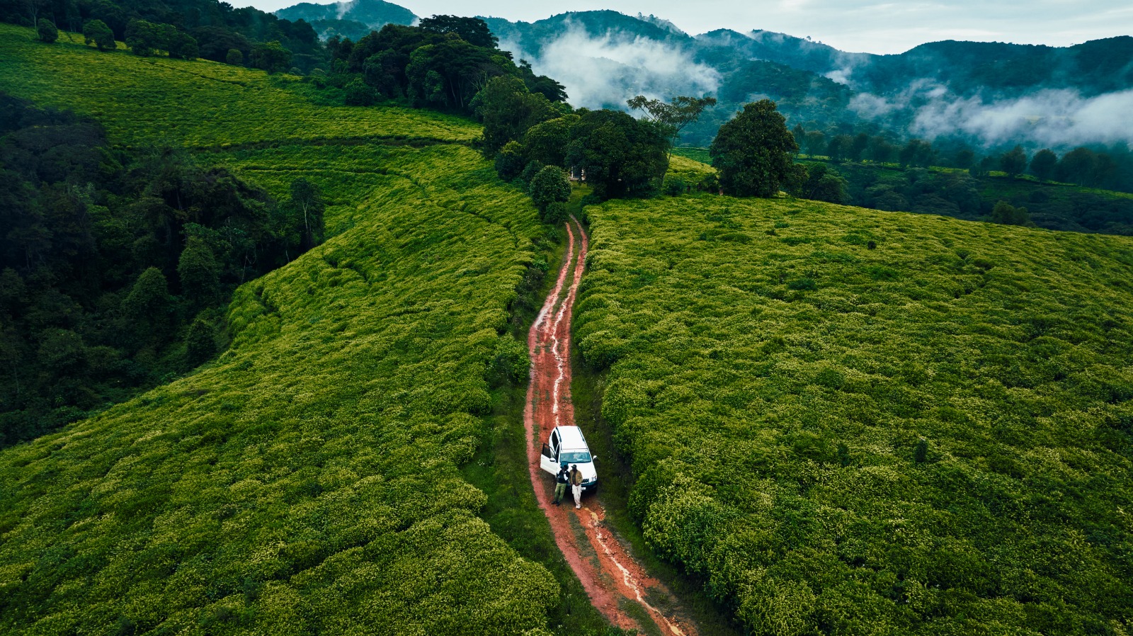
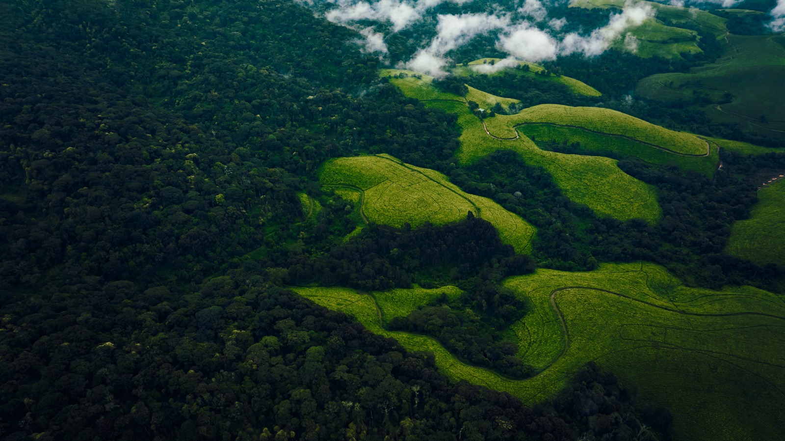
The central plateau is characterized by rolling hills locally known as “collines,” which shape rural life and agriculture. To the west, the land drops sharply into the Imbo Plain, a narrow lowland strip along Lake Tanganyika and the Rusizi River.
The highest point in the country is Mount Heha, reaching 2,684 meters above sea level.
HYDROGRAPHY
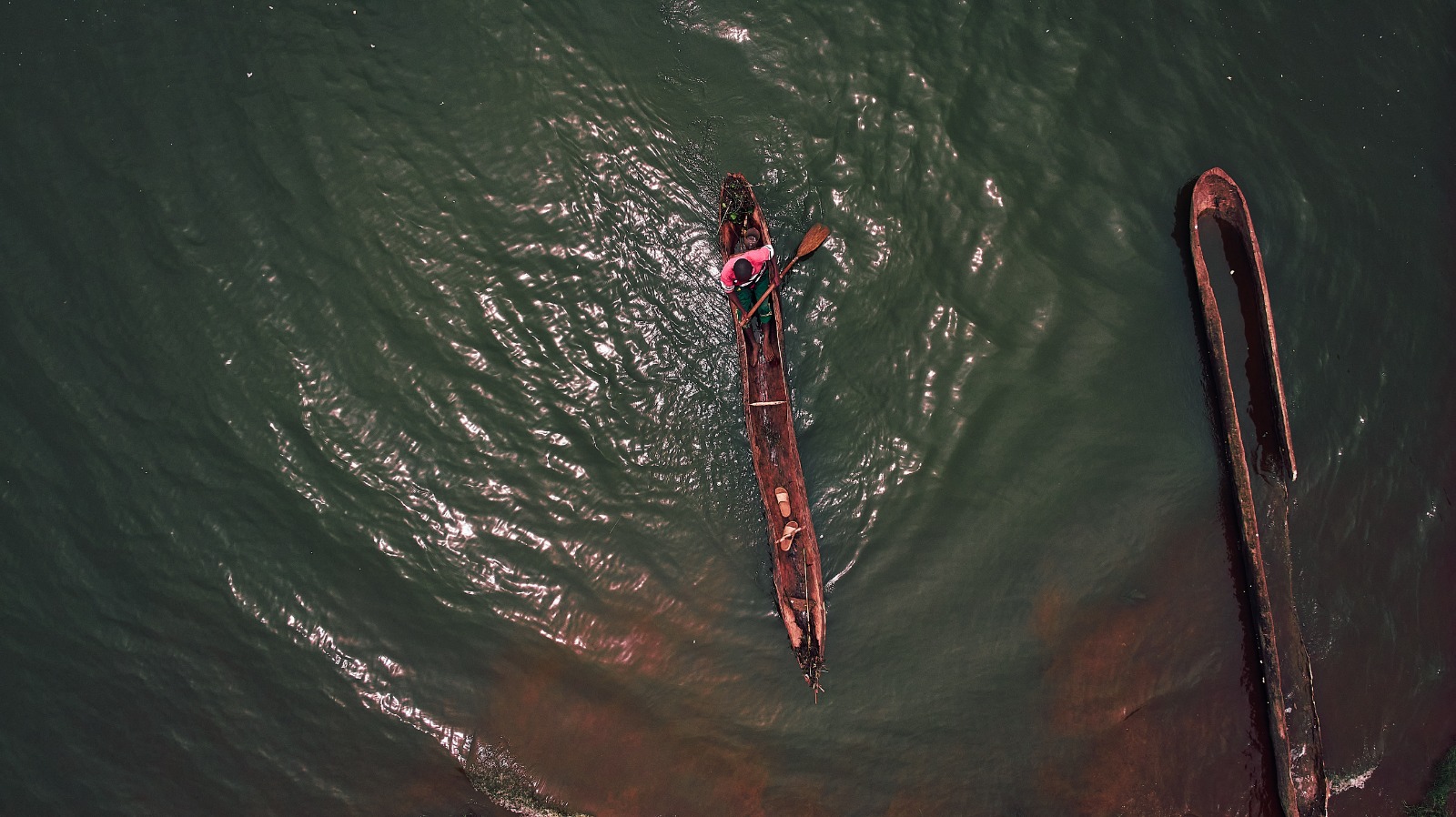
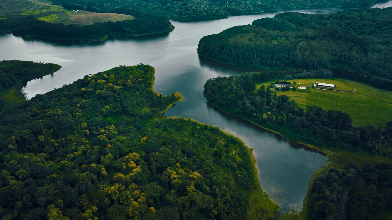
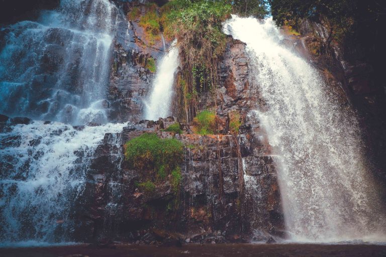
Water plays a defining role in Burundi’s geography and history. Lake Tanganyika, the world’s longest freshwater lake, forms the southwestern border and serves as an important route for trade and fishing.
Burundi is also recognized as one of the sources of the Nile. The southernmost source of the river originates in the hills of Rutovu. Major rivers include the Ruvubu and Akanyaru, which flow toward the Nile Basin, and the Rusizi River, which flows into Lake Tanganyika.
CLIMATE AND SEASONS
Although located near the equator, Burundi enjoys a temperate climate due to its high elevation. Temperatures are generally moderate throughout the year.
The highlands experience cooler and pleasant conditions, while the lowlands near Lake Tanganyika are warmer and more humid. The country has two rainy seasons, from February to May and from September to November, and two dry seasons, with the main dry period occurring between June and August.
ENVIRONMENT AND LAND USE
Burundi is one of the most densely populated countries in Africa, leading to intensive use of land for agriculture and pasture. Farming shapes much of the landscape and supports the majority of the population.
Environmental challenges include soil erosion, deforestation, and pressure on natural resources, particularly in hilly areas. Sustainable land management and environmental protection are increasingly important for the country’s future development.
GEOGRAPHY AT A GLANCE
- Surface area: 27,834 km²
• Highest point: Mount Heha (2,684 m)
• Major lake: Lake Tanganyika
• Climate: Tropical highland
• Political capital: Gitega
• Economic hub: Bujumbura